Who is this guide for?
The urban design guidelines for Victoria support state agencies, local government and the urban development sector to deliver functional and enjoyable places for people to live, work, and spend leisure time.
Read more
Elements
-
1. Urban structure
The topography and land division pattern of an urban area -
2. Movement network
The principles informing the overall form and layout of public streets, roads and paths. -
3. Public spaces
Urban design principles for parks, street spaces, plazas and communal open spaces -
4. Public transport environs
Public spaces, streets, buildings and activities located around railway stations, bus and tram interchanges, and adjacent to railway corridors -
5. Buildings
Larger, more complex buildings located in places with higher concentrations of urban activity -
6. Objects in the public realm
Placement and arrangement of street furniture, utilities and small structures within the public realm
Related information
-
PPN17: Urban design frameworks
Guide to preparing and using an urban design framework to set out an integrated design vision for future development of urban places.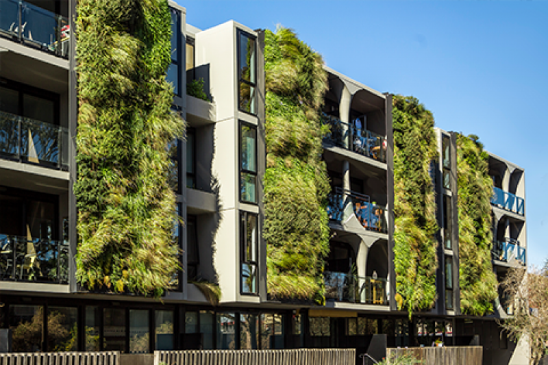
-
Guide to Victoria’s Planning System
A technical guide to interpretation and administrative procedures about the planning act and planning schemes.
-
Practitioner's guide to Victoria's planning schemes
This guide sets out key rules and helps practitioners formulate and draft planning scheme provisions.